
Integrated network of sky, earth and sky
Building the 'nerve center' for the development of low altitude economy
With the rapid development of autonomous drone flight technology and 5G communication technology, opening up airspace and promoting the development of low altitude economy have become important strategic directions for governments and industries around the world. What is low altitude economy? How to achieve precise control and reliable connection of low altitude aircraft? What is its future development trend?
Low altitude economy: a typical representative of new quality productivity
The Third Plenum of the 20th Central Committee of the Communist Party of China explicitly proposed the development of general aviation and low altitude economy. Among them, low altitude economy is a comprehensive economic form that relies on low altitude airspace resources, is driven by civil manned and unmanned aerial vehicle flight activities, is driven by various technological integration and innovation, and radiates and drives the integrated development of related fields and industrial chains. As a strategic emerging industry, the low altitude economy covers the entire chain of aircraft research and development, infrastructure construction and operation, and flight service support. It is a typical representative of new quality productivity and has great market value.
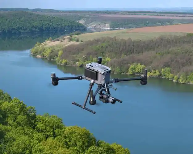
The development of low altitude economy will lead technological changes in many fields such as transportation and tourism, agriculture, forestry and plant protection, logistics and distribution, and public safety. In the field of transportation, the development and mass production of electric vertical takeoff and landing aircraft have made it possible to commute during rush hour, further alleviating the problem of urban traffic congestion. In the field of agriculture, drones can be used for crop monitoring, pesticide spraying, sowing, and improving agricultural production efficiency and quality. In the field of emergency rescue, drones have the characteristics of rapid deployment and flexible maneuverability, which can overcome complex geographical environments such as mountainous areas and forests, quickly reach major accident sites, shorten response time, and improve rescue support efficiency. In terms of energy inspection, traditional manual inspection has low efficiency and high safety risks. Drone inspection can quickly and accurately obtain information on the operation status of power equipment, and timely detect potential faults and safety hazards. In urban management, the use of low altitude transport equipment such as drones equipped with electro-optical pods to capture high-resolution urban images can provide detailed and real-time data support for relevant departments, helping to promote efficient urban planning and security.
Sensory Fusion: Assisting Low Altitude Efficient Intelligent Control
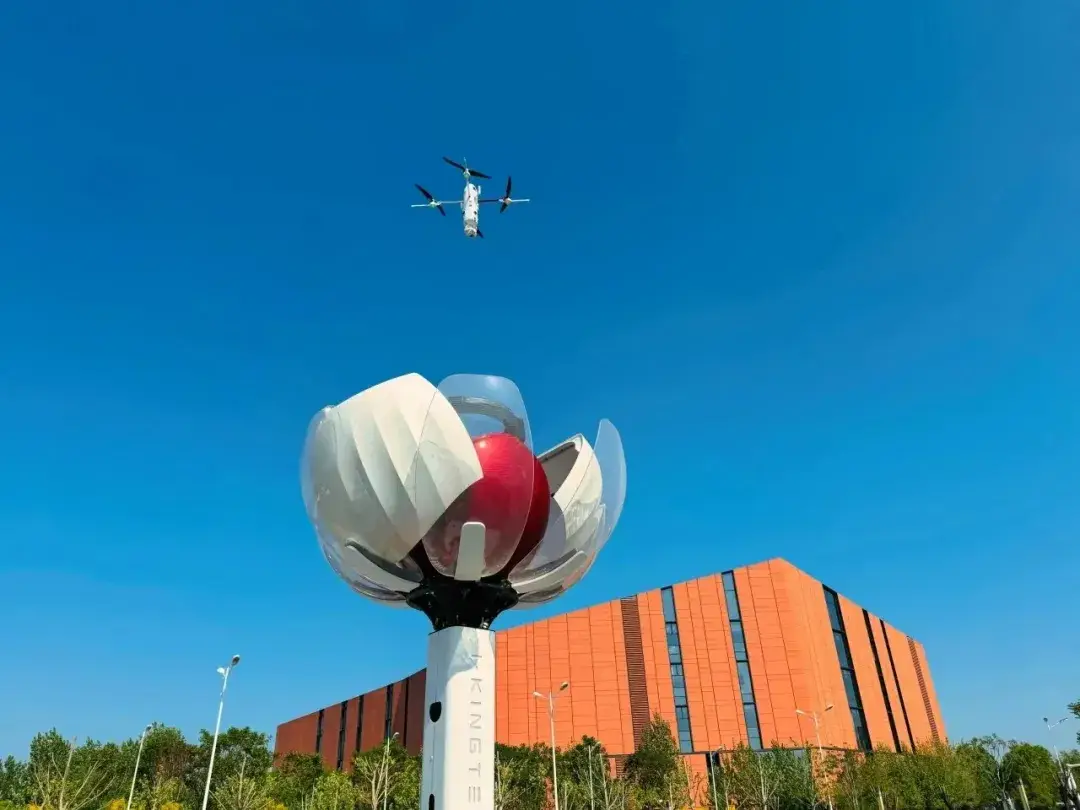
The development of low altitude economy relies on the support of low altitude network communication and perception capabilities. On the one hand, low altitude monitoring platforms and real-time transmission of data from unmanned aerial vehicles rely on reliable communication networks. On the other hand, the "black flight" of low speed and small targets such as drones poses a challenge to low altitude security, and there is an urgent need to establish a high-precision and low latency perception network. Compared to visual perception, wireless signal based perception is less affected by weather and can achieve all-weather perception.
Wireless communication and wireless perception were originally two functions based on electromagnetic waves. The former focuses on utilizing the ability of electromagnetic waves to carry information to achieve the transmission of text, audio, image, and video data, with 1G to 5G mobile communication systems as typical applications; The latter focuses on using the scattering characteristics of electromagnetic waves on different objects to extract physical parameter information of the environment or targets, with military or civilian radar as a typical application. Although the functions and performance indicators of wireless communication systems and perception systems are completely different, both have increasingly high requirements for signal bandwidth: according to Shannon information theory and detection estimation theory, the information transmission rate and parameter estimation accuracy are directly proportional to the signal bandwidth. However, due to the scarcity of spectrum resources, it is difficult to allocate a large amount of bandwidth for communication and perception systems. In this context, utilizing the same frequency band and achieving both communication and perception functions (synesthesia fusion) based on a unified signal has become a development trend.
Although the target functions of communication systems and perception systems are different, their hardware compositions are very similar. At the same time, the development of large-scale antenna technology and signal processing technology in frequency bands such as millimeter wave/terahertz has laid the foundation for the implementation of synesthesia fusion. With the continuous evolution and breakthroughs of the communication and sensing integrated channel model and new air interface waveforms, the future 6G mobile communication network will expand from a single communication function to a dual function of communication and sensing, achieving dual capabilities of one network and driving the upgrading of related industries.
The large-scale deployment of the synesthesia fusion network will provide key support for wide area low altitude intelligent connectivity control, ensuring that low altitude nodes can be "seen", "called", and "managed". Firstly, in response to the problem of low, slow and small flying targets being easily obstructed and difficult to distinguish, the synesthesia fusion technology of multiplexed cellular networks provides support for multi-point collaborative perception. By aggregating perception information from multiple perspectives, it can effectively reduce perception blind spots, obtain higher detection probability and perception accuracy, and ensure that low altitude nodes can fly safely in complex and harsh environments and weather conditions. Furthermore, based on the location information of low altitude nodes and environmental perception information, the construction of low altitude network topology, analysis of interference characteristics, and efficient allocation of resources can effectively alleviate competition for airspace resources and ensure stable and reliable connections. Ultimately, based on wide area perception and communication reporting information, and utilizing artificial intelligence methods comprehensively, a three-dimensional digital information system for low altitude airspace will be established, and a reliable operation recognition mechanism will be improved to effectively support the safety supervision system for low altitude flight and enhance the management efficiency of low altitude airspace.
Integration of Air, Space, and Earth: The Future Trend of Low Altitude Economy
Due to the fact that the main service providers of traditional mobile communication networks are ground users, the beam of base stations is usually tilted downwards, resulting in a large blind spot for a single base station to perceive. Although the use of multi station collaboration technology can significantly eliminate blind spots, with the deepening development of low altitude applications and the continuous extension of airspace, relying solely on ground networks to complete low altitude intelligent connected supervision will face challenges. Compared with ground mobile networks, satellite systems have advantages such as wide coverage, low cost, and the ability to cover all altitude airspace. They can provide ubiquitous connectivity support for low altitude nodes in different scenarios such as cities, remote areas, oceans, and deserts, enhance navigation and positioning capabilities, and are the key to filling the gaps in low altitude economy and technology. In order to achieve smooth interoperability and integration between satellite networks and ground networks, the International Organization for Standardization (3GPP) introduced support for non ground networks in its 17th edition of the standard, thus initiating the development process of integrated space earth networks.
According to the different heights from the ground, satellites can be divided into three categories: high orbit, medium orbit, and low orbit. Among them, high orbit satellites are relatively stationary on the ground, making networking simple and signal transmission stable, which can provide precise navigation services for the world. Low Earth orbit satellites are closer to the ground, with advantages such as low transmission loss, low transmission delay, and large transmission bandwidth, making them an important platform for achieving the integration of heaven and earth. At present, China has built the Tiantong 1 satellite mobile communication system in the construction of high orbit satellite networks, and launched plans such as "Hongyan Constellation", "Hongyun Project" and "Star Network Project" in the construction of low orbit satellite Internet constellations, which have been successfully launched one after another, marking an important progress in the construction of China's space sky integrated network.
In this context, building a low altitude intelligent supervision network with ground sensing integrated network as the main component and satellite network and civil aviation private network as auxiliary components can achieve efficient collaboration of wide area reliable communication, intelligent precise navigation, and multi-dimensional perception, meet the operational needs of various aircraft in low altitude economic scenarios with "high density, high frequency, wide coverage, large connection, low latency, and high safety", and effectively assist the development of the low altitude economic industry.
2024 is the first year of low altitude economic development in China, as well as the first year of 5G Advanced commercial use. Emerging technologies represented by sensory fusion have shown their application prospects in the field of low altitude economy. The integrated network of air, space, and earth will become the "nerve center" of low altitude economic development, providing comprehensive support from wide area connection to fine perception. Looking ahead to the future, from convenience to safety, from production to life, the development of low altitude economy will profoundly change people's way of life and promote society towards intelligence.