
1. Protection of arable land
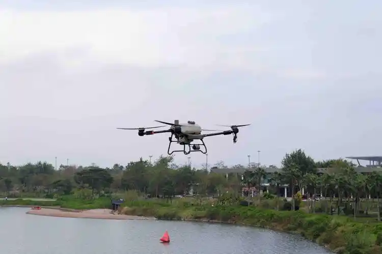
With the advancement of urban urbanization, behaviors such as occupying arable land, converting permanent basic farmland to non-agricultural use, and using permanent basic farmland for fish pond aquaculture or planting forest fruits still occur. Using drones to regularly patrol and take aerial photos of the site, applying recognition algorithms for real-time monitoring and analysis of illegal activities, extracting suspected illegal land use spots, and providing clues for law enforcement agencies.

2. Land change investigation
Land use change investigation is a field survey conducted on the current status of land use, land ownership, and changes in administrative divisions. By obtaining changes in land use patterns, land ownership (parcels), and administrative division data, incremental data packages and statistical reports are generated, and the land use database is updated and reported in real-time. The traditional method of conducting field surveys is time-consuming and labor-intensive, while drones can quickly obtain high-resolution images of large areas of land, clearly displaying land use conditions such as cultivation, vegetation cover, terrain changes, etc. By analyzing these images, investigators can quickly identify changes in land use, understand the utilization status of land resources, and provide a basis for subsequent land use planning.
3. Geological monitoring of mines
Mining geological monitoring is the long-term, systematic observation, analysis, evaluation, and prediction of mining geology and environment to assess the impact of mining activities on the environment, and take corresponding measures for environmental protection and restoration, providing scientific basis and technical support for the development, production, and management of mines. The use of unmanned aerial photography images to analyze the geological conditions of mines is beneficial for improving the development and utilization of mineral resources, reducing the cost of mineral resource protection, achieving accurate, efficient, and high-frequency dynamic monitoring of mineral resource reserves, and having a positive impact on the protection of mineral resources.
Previous:No